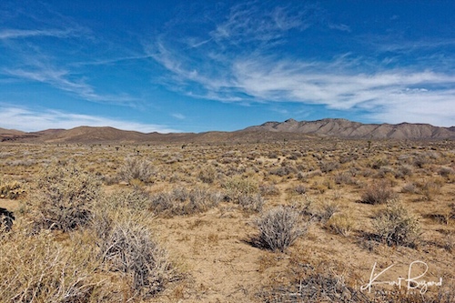
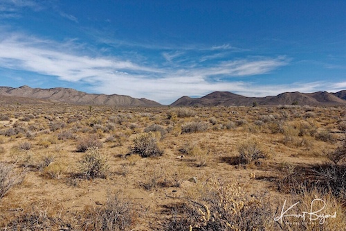
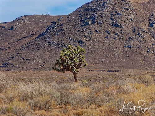
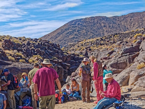
Since both the Little and Big Petroglyph Canyons are within the bounds of the Naval Air Weapons Station China Lake, thus limited for photography, I am including photographs of the surrounding area before delving into the petroglyphs. The southern part of the Coso range lies in the restricted Naval Air Weapons Station China Lake and the northern part of the range is designated as the Coso Range Wilderness. To visit Little Petroglyph Canyon, you need to go through the Maturango Museum which is located in Ridgecrest, California. To arrange a guided tour of the Coso Rock Art District located on China Lake Naval Weapons Station, you will need to call the museum to secure a reservation, pay a small fee and go through a written security questionnaire. No photography is allowed on the fairly long trip from the front gate until you reach the parking lot for the canyon. Since I believe you cannot properly appreciate the petroglyphs without the context of the surrounding area and cultures, I have decided to do a post on the canyon itself and the surrounding area.
Maps
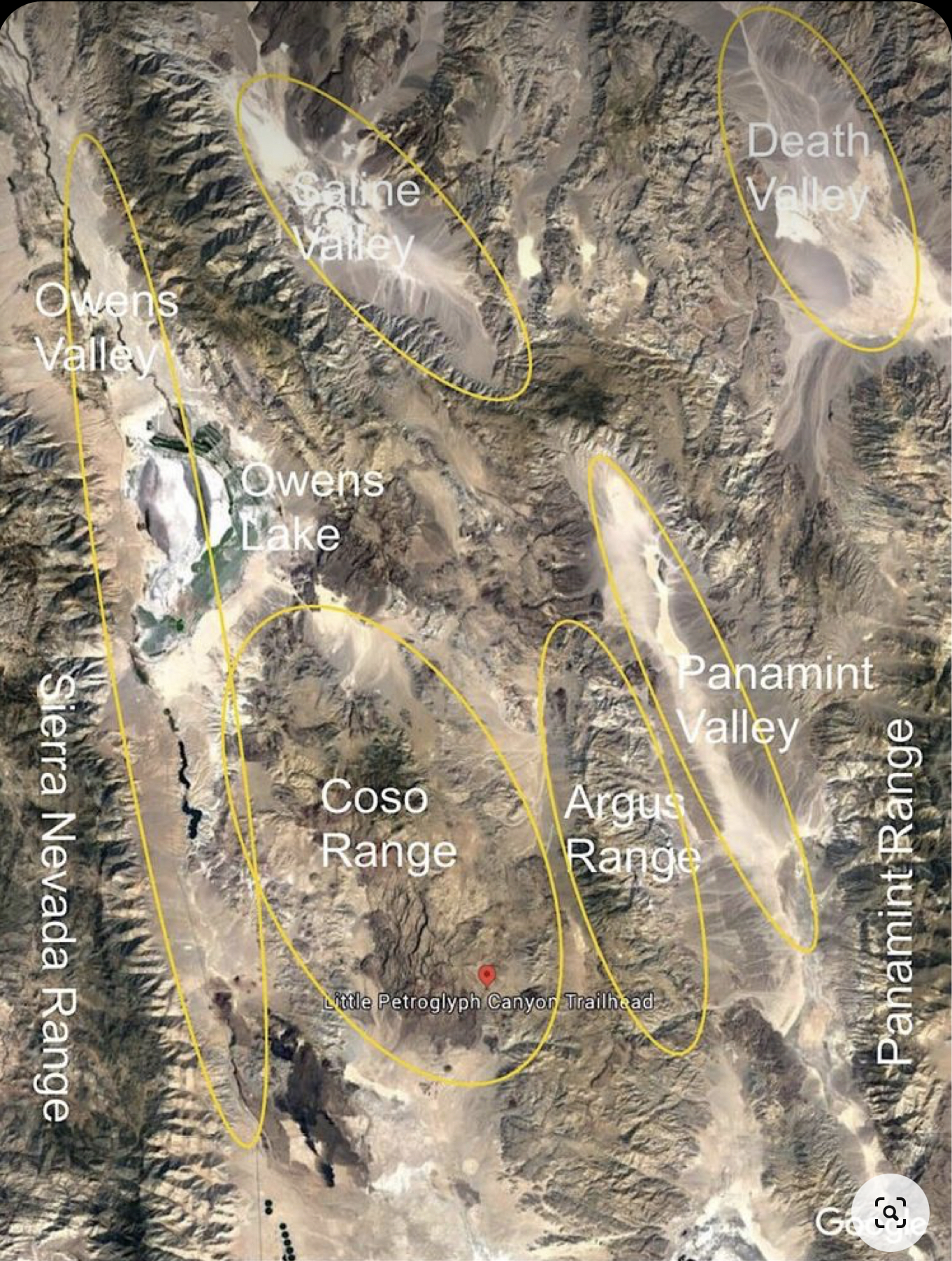
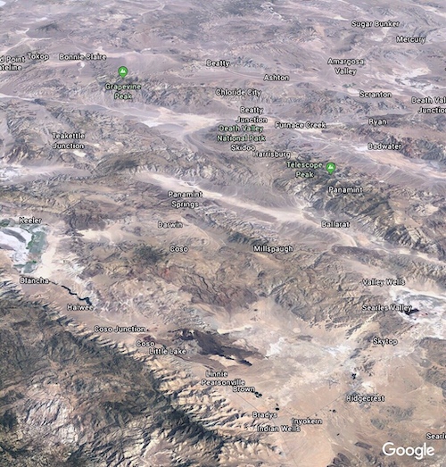
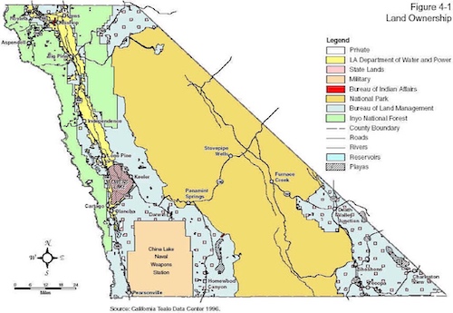
I have included the above maps to give you a basic idea of where this canyon lies. The Coso Range lies between the Sierra Nevada Range to the west and Death Valley National Park to the east. Due west is Sequoia National Park and beyond that, Tulare and the San Joaquin Valley. To the east lies a small valley, the Coso Valley, and then the Argus Mountain Range. The Argus Range is one of the westernmost of the Basin and Range Province ranges. The northern end of the range is just south of the Panamint Springs Resort on Highway 190. The range runs south to Argus Peak, just northwest of Searles Lake, near the town of Trona, California. In addition to Argus Peak, the range contains Maturango Peak, the highest mountain in the range. Beyond the Argus Range going west is the Panamint Valley and Range, followed by Death Valley on the western side of the Panamint Range. To the north of the Coso Range is the Owens River in the Owens Valley and Owens Lake, a fertile agricultural area for hundreds of years, used by the Owens Valley Paiutes. Beginning in 1913 that all changed as the LA Water District completed its first aqueduct from the Owens Valley. Today Owens lake is a dust bowl and the Owens valley is mostly desert.
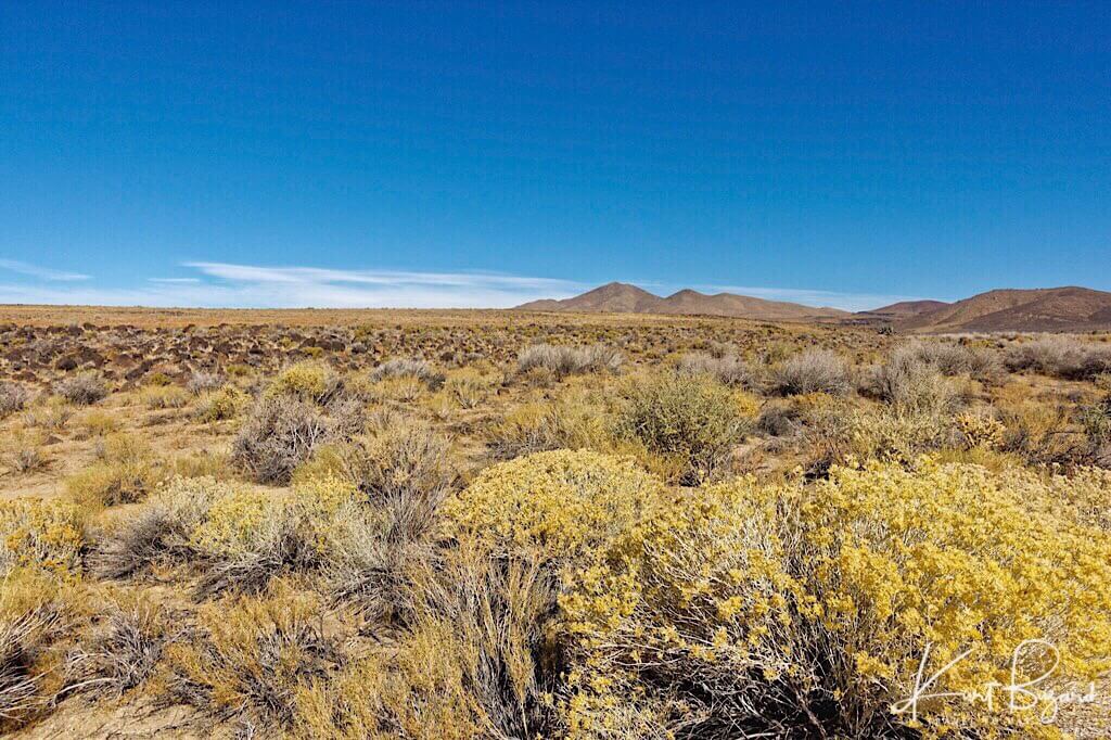
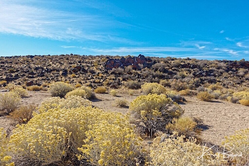
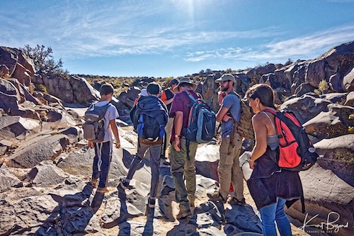
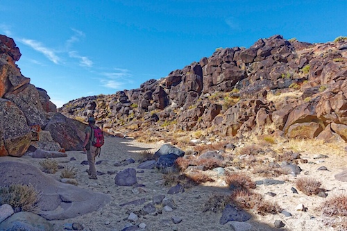
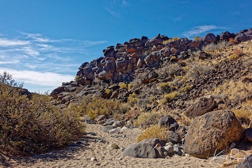
View from the Parking Lot at Little Petroglyph Canyon
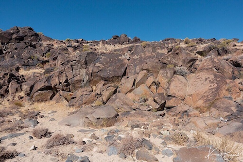
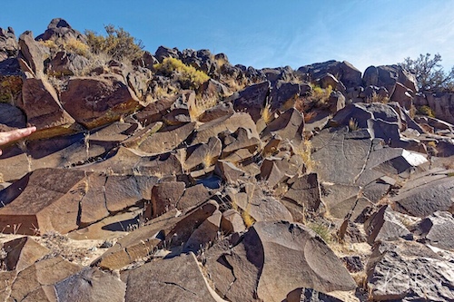
Trail Down to Little Petroglyph Canyon
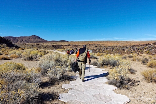

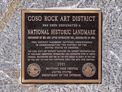
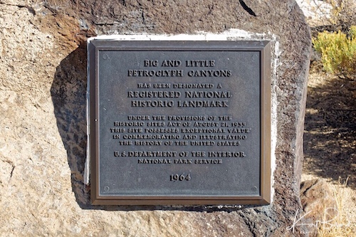
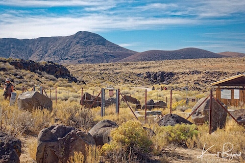
Little Petroglyph or Renegade Canyon is fairly shallow at the entrance point from the parking lot. There are a number of plaques denoting it as a National Historic Landmark from 1964 and 2001. The first 100 feet of so is paved with plastic tiles, a remnant of some official function conducted there in the recent past. There is also a small picnic area with a building, fenced in to protect it from wild horses and burros. There are bathrooms in the parking area, an important note since if to have to pee, you must hike out, no pee in the canyon since it is a sacred area.
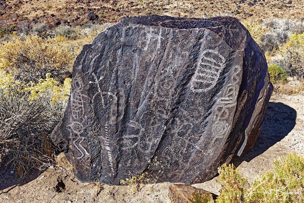
Petroglyph Boulder at Entrance to Little Petroglyph Canyon
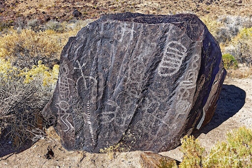
Outside the canyon, at the beginning of the walk down, they have this boulder with a number of petroglyphs on one side. I don’t know if this is the original location of the boulder or if it was moved here as an introduction to the canyon but it is worth exploring the petroglyphs. I want to emphasize that no one really knows with any certainty, the true meaning of the petroglyphs. I believe the meaning would be practical and self evident since various people of different backgrounds would view these petroglyphs and given the work needed to produce them, they would serve as a message board to future visitors. One must also view these as thoughts from a people who lived outdoors, intimately involved with the seasons and night sky, living a subsistence existence. Even a small hint concerning the hunt could be the difference between eating and going hungry. Symbols that seem impenetrable to a modern urban eye would be obvious to an outdoor-living hunter/gatherer.
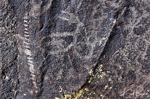
Here you can clearly see an older petroglyph of a pregnant sheep (see the small sheep inside the figure of the sheep) and perhaps a young foal to the right. To the left is a newer bow shaped petroglyph with a round center and ten horizontal lines on each side is seen. The lines seem to taper in length on each side. While no one can say for sure, I tend to think this petroglyph symbolizes the phases of the moon, which the length of the lines indicating the phases. Hunters have noted that activity amongst all animals is greater when the moon is full and that this one form of hunting by moon phase, hunting during periods of full moon, can yield excellent results. But the moon doesn’t only have an impact on animal activity. The various phases of the moon also seem to have a direct effect on large mammal mating patterns, which in turn make them easier to locate. Being aware of when the breeding season begins helps to determine travel patterns and areas of increased deer/sheep activity. When the breeding season is at its peak, finding deer/sheep is easier and finding more than one in a particular area more likely. Perhaps this is why this petroglyph is next to a pregnant sheep.
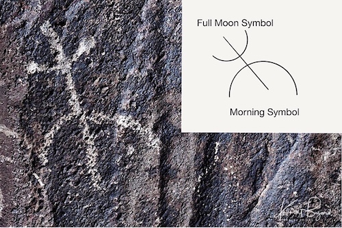
Above the pregnant sheep and the lunar calendar is what I believe to be a combined “morning” and “full moon” symbol, seen above. I think this sign indicates it is best to hunt in the morning when the moon is full.
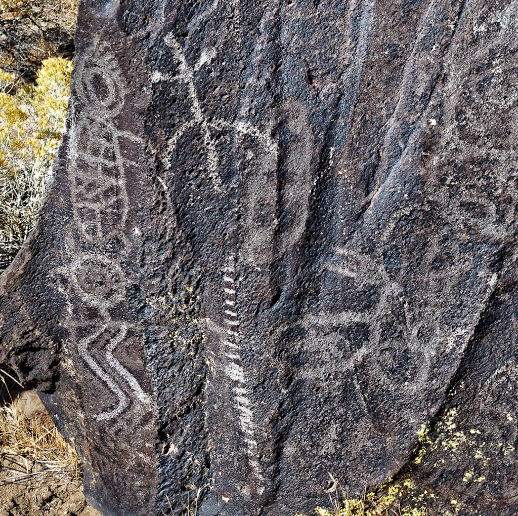
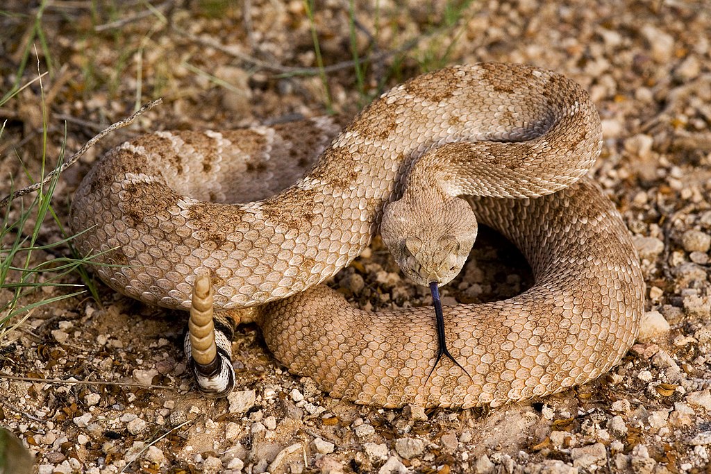
Here, I have enlarged the frame to include a petroglyph of a Diamond-Backed Rattlesnake (Crotalus atrox) to the far left. The Snake is a symbol of water and fertility in many Native American mythologies. It sometimes appears realistically, as it does here, with head and tail. It also appears as a simple wavy line, perhaps symbolizing a river as seen below the snake petroglyph. Of interest is the halo of radiant lines surrounding the head. Heads with this type of halo are depicting wise men, shamans or in this case a sacred animal. Native Americans were keenly aware of the sacred animals and land around them, the land sustained them and rituals were required to stay on good terms with the spirits.
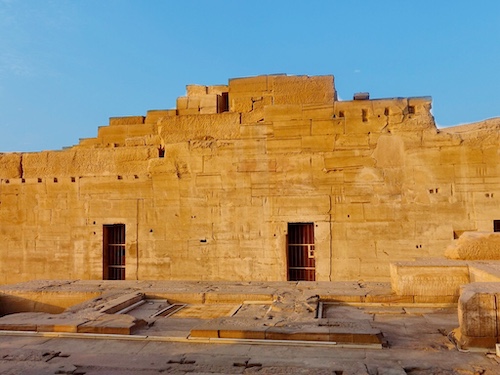
The religious beliefs of the Shoshone tribes stemmed from supernatural powers that often took the shape of animals and other mythical creatures. The spirit quest was a ritual in which a spirit, typically in the form of an animal, will come to a tribe member and bestow its powers on him and become that man’s guardian. During the quest, the youth or adult man is left in a lonely place to fast and pray. The powers bestowed on each man are characteristics of the animal in which the spirit took its form. Other tribes had similar beliefs and even when killing an animal, certain rituals were followed to celebrate the animal. Seeing animals as sacred is not unique to Native Americans. Egyptian towns usually had their own local sacred animal. It was thought that some gods and goddesses represented themselves on earth in the form of a single representative of a specific species, and honoring that species of animal would please the god or goddess associated with the animal. The animal believed to be the incarnation of the god or goddess lived a pampered life in and near the temples and religious centers. For instance the temples of Sobek usually had sacred lakes where crocodiles were fed and cared for.
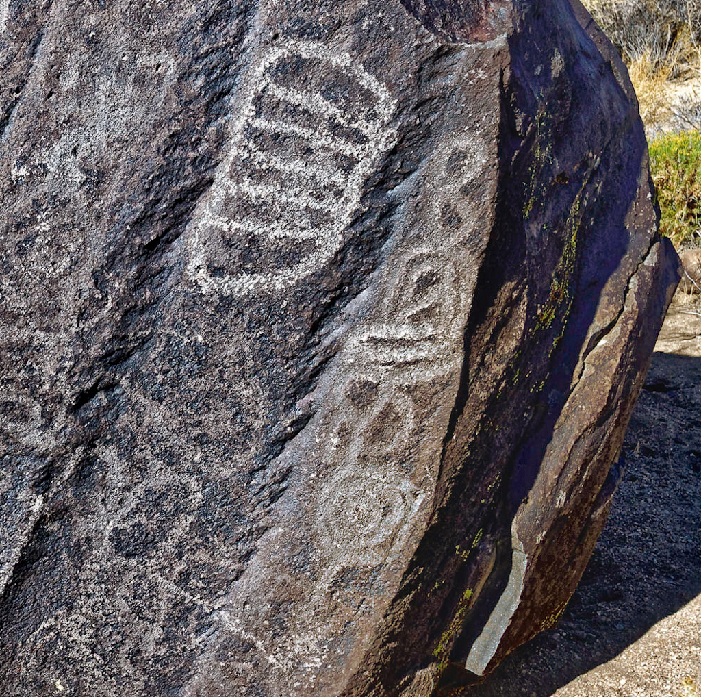
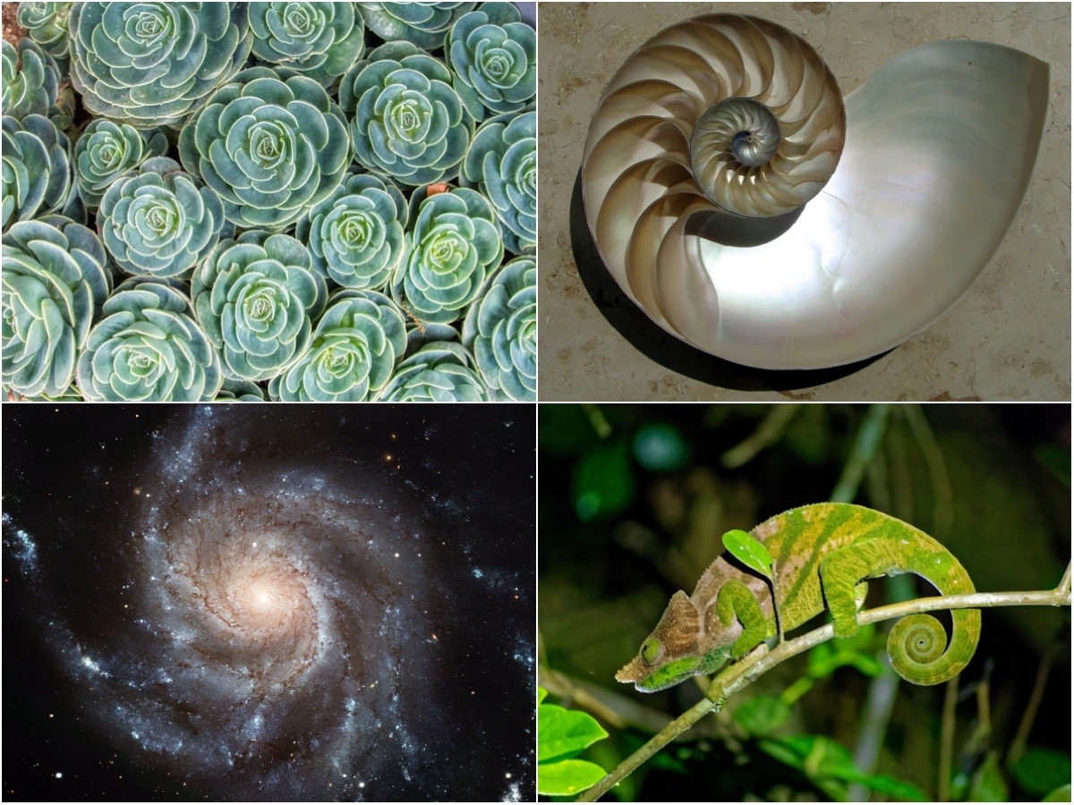
One of the oldest geometric shapes found represented throughout the ancient world are spirals. Petroglyphs of spirals date back to around the Neolithic period. Yet, ancient cultures throughout the world carved the same symbol with little or no communication with each other. The spiral is fundamental to nature, appearing on animals such as the snail, seashells, and occurs in natural phenomena such as whirlpools, hurricanes, tornadoes and spinning galaxies. The spiral has become a powerful symbol for creation and growth, used by many ancient cultures and religious traditions. In some cultures, a concentric spiral has special significance as the Place Of Emergence, symbolic of the center of the cosmos or the Mother Earth navel from which the earliest people emerged. The spiral can also represent ascending, water or the sun. I cannot say for sure what the “spaghetti” above the spiral means, although the spiral could signify a beginning with a spiritual or actual journey denoted by the “spaghetti” symbol. The enclosed petroglyph with horizontal lines may be a counting system, for instance number of hunters or number of days or it could be a shield pattern.
Bedrock Mortars or Cupules
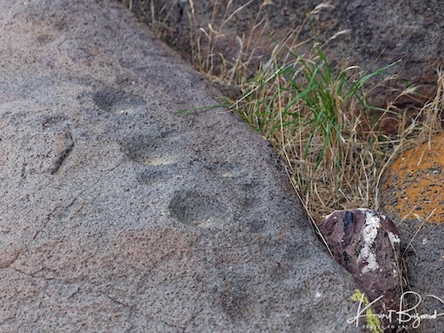
Even though the focus of Little Petroglyph Canyon is hunting, the hunters had to be fed. There are often a cluster of a considerable number of grinding holes or cupules in proximity to frequently used sites indicating that people gathered in groups to conduct food grinding in prehistoric cultures. Correspondingly the alternative name gossip stone is sometimes applied, indicating the social context of the food grinding activity. Cupules are relatively rare in the Coso range, being present in only three locations. They would undoubtedly have brought food in the form of roots, pine nuts and seed to be processed and eaten prior to the hunt. The mortar is fairly large and would have been turned upside down, to be left on site for the next visit. I doubt the mortar was actually found in Little Petroglyph Canyon, it was probably planted there by the museum.
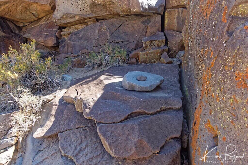
In Little Petroglyph Canyon
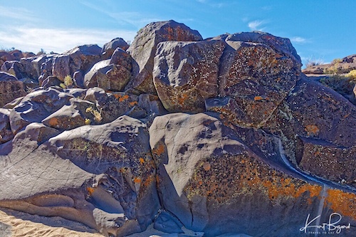
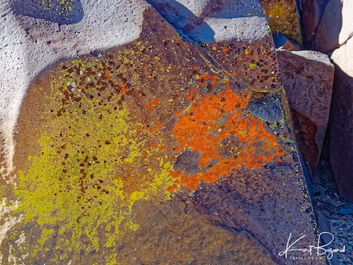
The canyon is situated roughly north-south in orientation. The eastern walls of the canyon get significantly less sun and are covered with yellow, black and orange lichen with little in the way of petroglyphs. Also the desert varnish or patina is much less pronounced on the east side. The Coso Volcanic Field is nearby and the rocks here are a combination of basalt and rhyolite. The Coso Volcanic Field is one of the most seismically active regions in the United States, producing dozens of tremors in the M1 and M2 range each week. Tremors in the M3 range occur at a rate of 2–6 per month and M4 quakes occur two-three times each year. Earthquake swarms are common in the Coso area, often producing hundreds of tremors over periods of time as short as a few days.
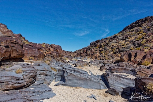
Little Petroglyph Canyon is a sandy wash for much of its 3-mile length. The last mile near the bottom turns into a narrow gorge, 6 to 8 feet wide, with steep walls as high as 60 feet. Here, basalt lines the canyon bottom, scoured smooth by eons of water and rocks cascading through the canyon. We we’re not allowed into the narrow gorge after the first waterfall since someone had defaced a petroglyph with a magic marker prior to our visit. When it rains, the canyon rapidly fills with water rushing downward and eroding the stones. If you dig into the sand, you can find pockets of water a few feet down, in the right locations.
Plants and Animals at Little Petroglyph Canyon
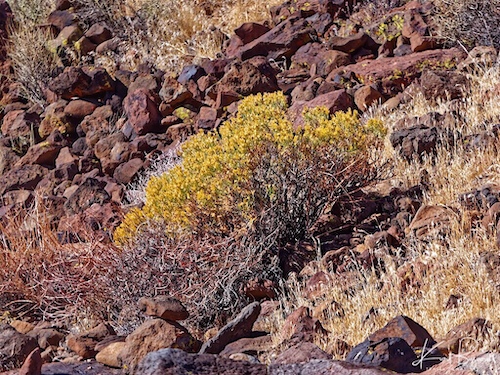
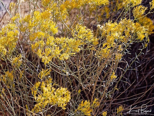
The Hopi stripped the bark from the branches of rubber rabbitbrush and used the branches for basket weaving. The Navajo used the flowers to make yellow dye. Native Americans also used rubber rabbitbrush for chewing gum, tea, cough syrup, and to treat chest pains. During World War II the plant was studied as a substitute for commercial rubber, and currently it is a small commercial rubber source. Rubber rabbitbrush attracts a wide array of native insects, including butterflies and small bees. It is one the few native plant species in the Intermountain West that provides habitat for pollinators during the late summer and fall months.
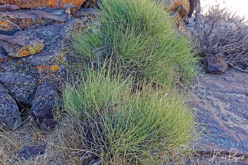
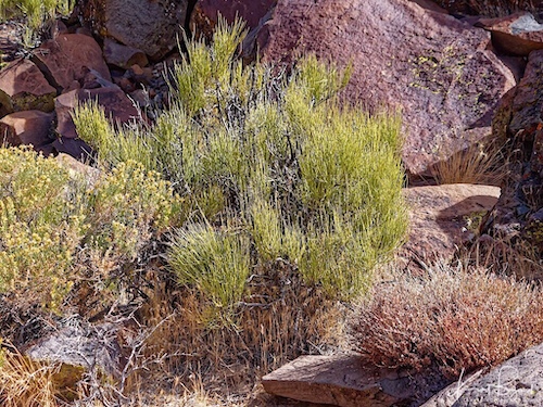
Nevada Ephedra is found in rocky and sandy soils, generally in areas without trees. More than other North American Ephedra species, it is a significant forage plant. It is grazed upon by mule deer (Ococolius hemionus), pronghorn (Antilocapra americana), and desert bighorn sheep (Ovis canadensis) as well as domestic sheep. Nevada ephedra was used for food and medicine by indigenous people and for tea by Mormons.
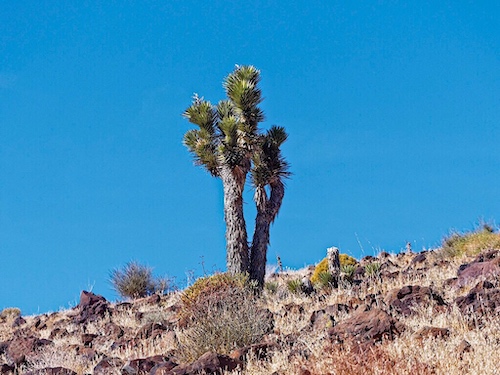
I was not allowed to photograph them but this canyon lies in the middle of a large Joshua tree forest with some very large specimens.
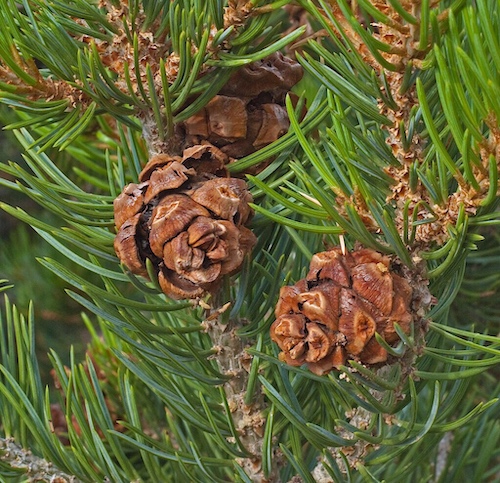
I actually did not personally see any Piñon Pine but they are nearby. Singleleaf pinyon is adapted to a wide variety of sites. It usually grows on pediments, dry, rocky slopes, ridges, and alluvial fans and is rarely found on valley floors. It is found at the top of Mount Coso and along the eastern foothills of the Sierra Nevada range.
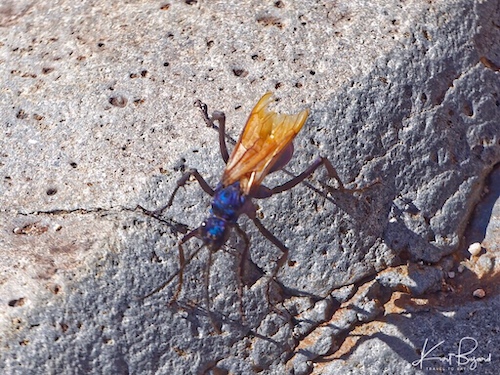
A tarantula hawk is a spider wasp (Pompilidae) that hunts tarantulas. Tarantula hawks belong to any of the many species in the genera Pepsis and Hemipepsis. They are parasitoid wasps, using their sting to paralyze their prey before dragging it to a brood nest as living food; a single egg is laid on the prey, hatching to a larva which eats the still-living prey. These are up to 1–2 inches long and pretty intimidating in person. They had a number of these in the canyon although I did not see any tarantulas. This is a male because the antennas are straight, not curled up.
I hope you enjoyed the post, as you can gather, I believe the petroglyphs are not random images but are purposefully placed in position with an actual meaning. In future posts we will explore more of the petroglyphs, there are many to discuss. If you have a question or disagreement, please leave a comment.
References:
Panamint Springs Resort: Travel to Eat
Darwin Falls near Panamint Springs Resort: Travel to Eat
Crocodile Museum at Kom Ombu: Travel to Eat
Kom Ombu Temple to Crocodile God Sobek: Travel to Eat
Geology in Southern Owens Valley
Spiral Sky Formation in Norway