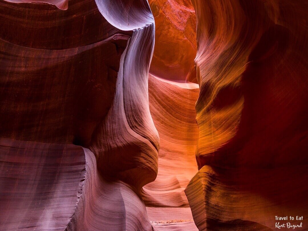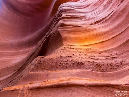
Antelope Canyon is a slot canyon located on Navajo land east of Page, Arizona. Antelope Canyon includes two separate, scenic slot canyon sections, referred to individually as “Upper Antelope Canyon” or “The Crack”; and “Antelope Canyon” or “The Corkscrew”. The Navajo name for Upper Antelope Canyon is Tsé bighánílíní, which means “the place where water runs through rocks”. Lower Antelope Canyon is Hazdistazí (advertised as “Hasdestwazi” by the Navajo Parks and Recreation Department), or “spiral rock arches”. Both are located within the LeChee Chapter of the Navajo Nation. Both canyons are photographic icons, recorded by countless photographers, both for their beauty and the constantly changing light and colors.
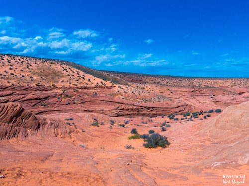
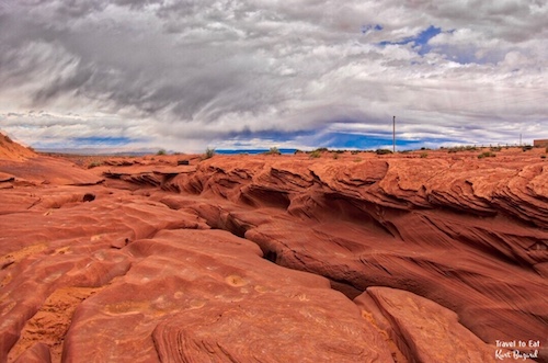
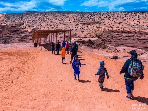
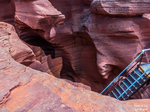
From ground level, the canyon is almost invisible. Antelope Canyon was formed by erosion of Navajo Sandstone, primarily due to flash flooding and secondarily due to other sub-aerial processes. Rainwater, especially during monsoon season, runs into the extensive basin above the slot canyon sections, picking up speed and sand as it rushes into the narrow passageways. Over time the passageways eroded away, making the corridors deeper and smoothing hard edges in such a way as to form characteristic ‘flowing’ shapes in the rock. The relatively soft sedimentary rock is easily eroded by flash floods in the Arizona desert.

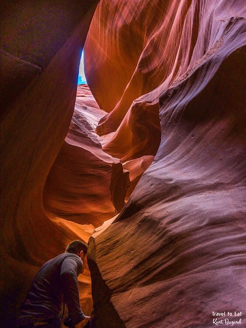
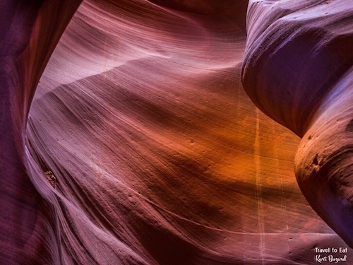
I visited Antelope Canyon with my friend, Dana. The colors in the rocks are unique, a variation of mauve and tricky to duplicate in post processing. Although a camera setting of “cloudy” gets you close, the actual white balance is a very selective combination of position and light. The passage is narrow but the Navajo tribe has filled in depressions and built ladders to make it passible.

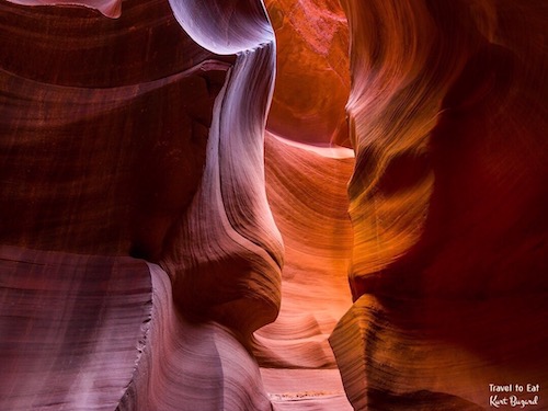
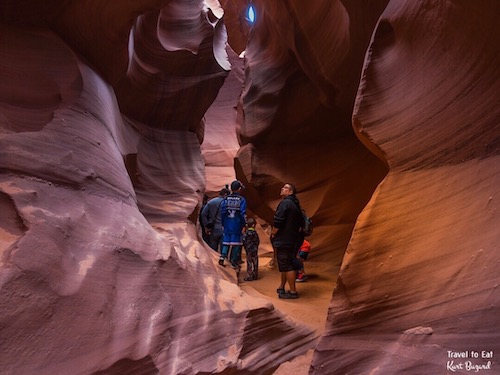
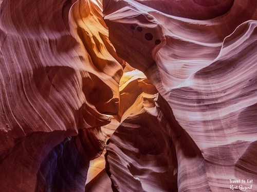
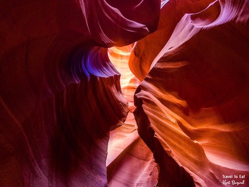
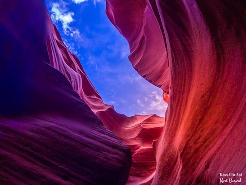

Lower Antelope Canyon, called Hazdistazí, or “spiral rock arches” by the Navajo Indians, are located a few miles away. Prior to the installation of metal stairways, visiting the canyon required climbing along pre-installed ladders in certain areas. Even following the installation of stairways, it is a more difficult hike than Upper Antelope. It is longer, narrower in spots, and even footing is not available in all areas. At the end, the climb out requires several flights of stairs.Despite these limitations, Lower Antelope Canyon draws a considerable number of photographers, though casual sightseers are much less common there than in Upper.The lower canyon is in the shape of a “V” and shallower than the Upper Antelope. Lighting is better in the early hours and late morning. Some of the rock formations have been named, like the “Lady of the Wind” seen above.

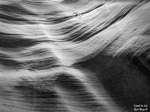
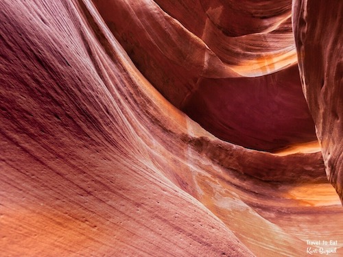
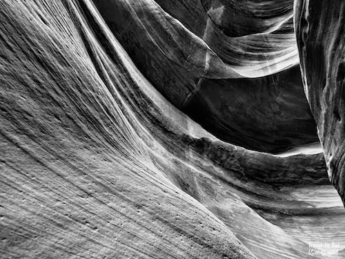
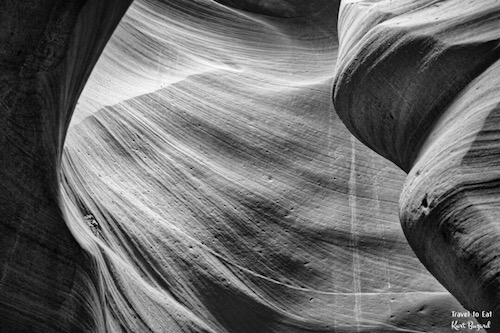
Black and white photography reveals details that often go unrecognized. The flow and ebb of water on stone is nowhere more apparent than removing color from the image.
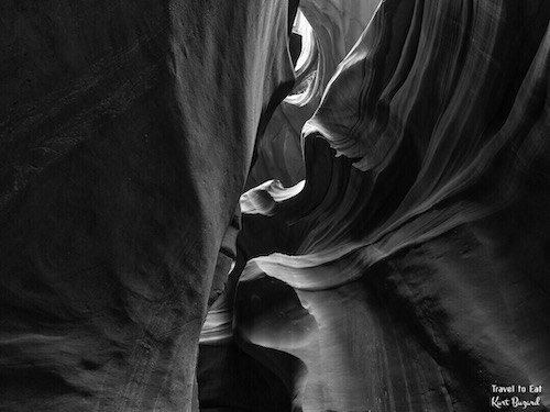
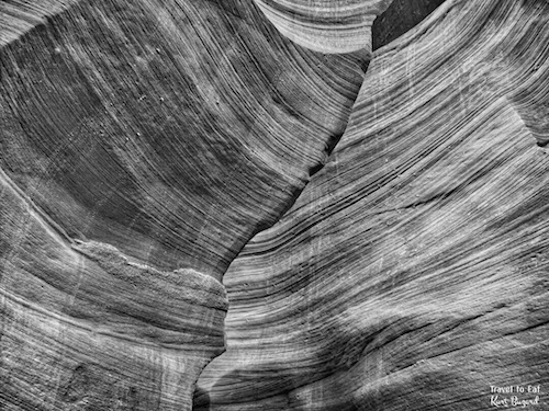
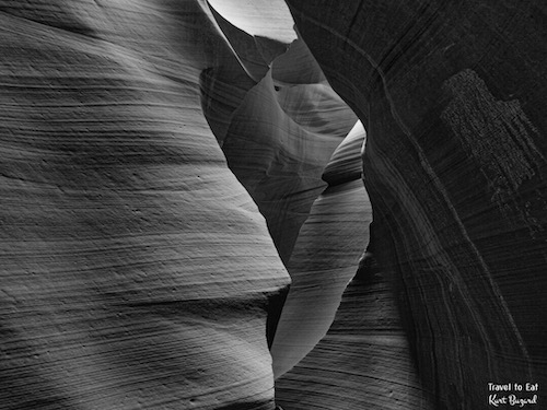
Antelope canyon is a spectacular photographic location, almost every view is something unique. That said, it is impossible to better than thousands of photographers who have visited, these images are only my interpretation of past exceptional photography.
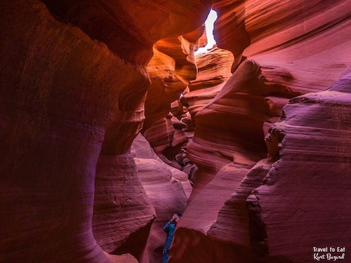
This last image is one of the longest uninterrupted views of Antelope canyon. As always I hope you enjoyed the post, please leave a comment.
[mappress mapid=”222″]
References:
Lower Antelope Canyon: http://www.nationalparksandmore.com/things-to-know-about-visiting-and-photographing-antelope-canyon/
Navajo Tours: http://navajotours.com/about-us/overview/
Sent from my iPad

